Earlier this
year, I told myself to end 2015 with a "bang", but never expected to
end it with an awesome climb and so far, the farthest mountain I have climbed
in the country.
Mt. Ulap, a
newly discovered hiking destination in Ampucao, Itogon, Benguet is very famous today especially this Christmas
season. Ampucao Eco-Trail had been launched only last October, and this trail as well as the mountain itself captured instant fame online like a wildfire.
 |
| A New trail has been launched last October 31, 2015 and have been attended by different mountaineering groups and organizations. |
We have joined
an event, hosted and organized by Roi Renoballes, a fellow mountaineer whom we
also bumped in on my first climb at Mt. Cristobal. The event fee is Php
1,250.00, inclusive of back and forth transportation from the meetup area
(Mayflower St. Police Station, beside Greenfield), registration fees and guide
fees.
We leave Manila
at 11:00pm and arrived at Baguio at around 5:00am. We bought our pack-lunch at
McDonalds, since most of the establishments are still closed during that time.
From Baguio, travel time to Ampucao, Benguet is around 40 minutes.
 |
| View from the second floor of the Barangay Hall. |
 |
| With my climb buddies: Kim, Kate and Jonel. |
 |
| Jonel and Kim: my two best climbing buddies. |
 |
| Who would hesitate to take a selfie on this canvass of God? |
You will start
the trail from Totombek woodlands as what they call it. You will face assaults,
approximately for an hour depending on your phasing. This will warm you up and
compared to the later part, this is the portion where the trail is covered with
pine trees comprising 20% of the entire trail.
 |
| The Totombek woodlands, as they call it. |
 |
| The area is almost covered by pine trees, with series of assaults. |


 |
| Under the shade of a pine tree. |
 |
| Overlooking the Cordillera mountain ranges as seen from the woodlands. |


 |
| With my climb buddies: Kate, Kim and Jonel. |
 |
| Prenuptial shoot of my bestfriends Jonel and Kim. |

After the
woodlands, you will reach the Ambanao Panay. It is the part where there are no
trees, so a very scorching trail is expected. It is one of the best area in
terms of views, and a good one for photo ops. There are even cattles on the
area, which gives a New Zealand look and ambiance.
 |
| The group ascending the woodland. |
 |
| Under the pine trees. |


 |
| Ambanao Panay. |
 |
| Ambanao Panay resembles a New Zealand ambiance; taking pics with the cattles. |

 |
| The art of stone balancing and meditation. |
 |
| Kate as captured along the Ambanao Panay. |
 |
| Cordillera mountain ranges as viewed from Ambanao Panay. |
 |
| The trail leading to the famous Philex Ridge and summit. |
 |
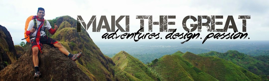
| MAKI The Great adventures. |
 |
| Can you see Baguio in the background? |
Approximately
1.5 hours from Ambanao Panay, you will reach the famous spot, the rock
formations called Gungal (or the Philex Ridge). From there, you can see Mt.
Ulap overlooking from this side. This is not yet the summit, as most people
mistakenly assumed. The summit is approximately 1 hour from Gungal, and you
have options to go back. You can take the back-trail, or the Sta. Fe traverse,
where you will pass the Pongol Human Cave.


 |
| Gungal rock formations. |

We chose to do
the back-trail and already back at the Barangay Hall at around 2:00pm. We took
the back-trail at approximately 3 hours.
Included on our
itinerary is a short side trip to Baguio but sadly, we didn't pursue it due to
heavy traffic (since it's a long weekend and holiday) so we decided to head up
straight to Manila.
This was indeed
a very memorable and fun year-end treat for myself. I've been dreaming to climb
Mt. Pulag ever since, and climbing this mountain makes that dream seems a few
steps away. It made me realize that this country has a lot to offer, and you
don't need to travel other countries to experience this kind of sensation.
 |
| Post dinner at Mcdonalds with bestfriends Kim and Jonel. |
Until next time
and surely, I will totally conquer the North! Happy New Year everyone!
ITINERARY
DAY 0 (Saturday)
23:00 ETD Manila to Baguio
DAY 1 (Sunday)
06:00 ETA Baguio (Breakfast/Buy Packed lunch)
07:00 ETD Baguio to Ampucao
08:00 ETA Ampucao; Registration
09:00 Start Hike to MT. ULAP via Philex Ridge
11:30 ETA Mt. Ulap; eat lunch
13:30 Descent to Ampucao
14:30 ETA Ampucao to Baguio
15:30 ETA Baguio/ ETD to Manila
23:00 Touchdown MANILA